3 amazing landscapes forged by ice
4 MINUTE READ
The gradual and incredibly powerful movements of glaciers and ice sheets over the millennia have left lasting marks on our amazing landscapes – read on to find some stunning locations created by ice.
It might not feel like it, but we are officially living in an Ice Age. It began 2.6 million years ago but we are currently in an inter-glacial phase, which explains why it’s warmer – and so strikingly beautiful.
The lack of ice beyond the poles and peaks means we’re able to see and experience the remarkable landscapes left behind by the retreating ice.
Here are three amazing landscapes and geological places to visit that clearly show the ebb and ‘floe’ of ice across our planet.
1. Scotland
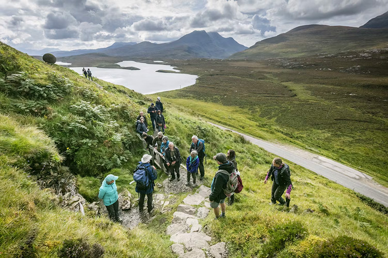
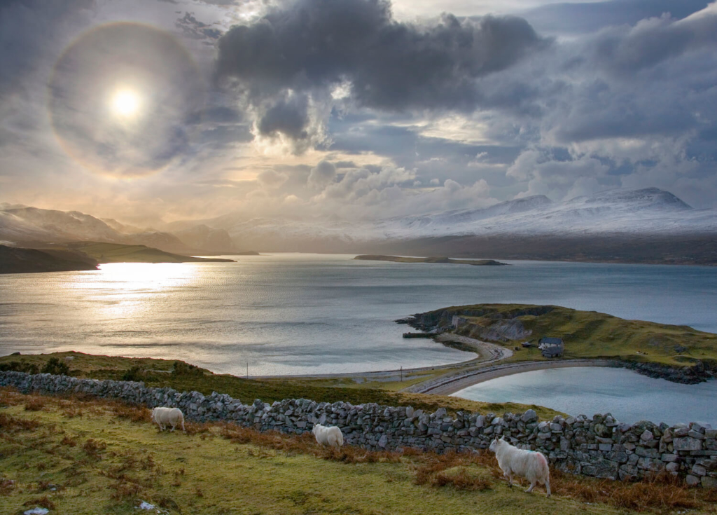
Many of Scotland’s most dramatic but amazing landscapes were forged during the last glacial phase. These Scottish landscapes are such perfect examples of the glacial moulding of landforms that they played a key role in the development of Swiss geologist Louis Agassiz’s Ice Age theory in the mid-19th century. Places such as the U-shaped valley Glen Coe and Lewisian Gneiss (the oldest rock in Europe) are reach-out-and-touch examples of the geological diversity of this beautiful part of the world.
Shortly before the publication of Darwin’s theory of evolution, Agassiz was swayed by evidence he found in the Scottish Highlands that glaciers once existed in areas far away from places currently covered in ice, such as the Swiss Alps. His findings suggested that an Ice Age had occurred several thousand years ago – and supported theories that the Earth was most certainly not created in seven days. We now know that Scotland has been blanketed in ice sheets five or six times in the last 750,000 years.
Scotland once looked more like Antarctica with only the tallest peaks protruding from the ice. As the ice sheets retreated and advanced, they destroyed much of the landscape left behind by the previous sheet. What you see today in Scotland is largely the result of the most recent glacial phase and consequent meltwater rivers.
It’s no wonder that the country is home to no fewer than two UNESCO Global Geoparks (and another aspiring one), including the North West Highlands Geopark, which you can explore with geology experts on our North West Scotland tours.
2. Alberta, Canada
We’ve already talked about Alberta’s fossils, which date from an era when the province was covered by a warm, shallow sea, but the region has experienced much icier conditions since then. Around 75,000 to 11,000 years ago, the Wisconsin Glaciation entirely covered the entire area in sheets of ice believed to be around 2.4 miles (3.8km) thick.
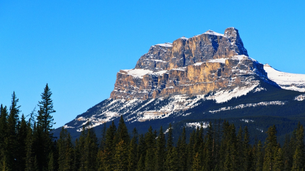
As it receded, the last glaciation left behind one of the most amazing landscapes shaped by ice. And because the Rocky Mountains are so high, the ice is still making its presence felt. You don’t even need to leave your car to see glaciation in action! Just look for the terminal moraine at the Athabasca Glacier on the Iceway Parkway. The incredible turquoise colour of lakes such as Lake Louise is also thanks to the glaciers. Glacial flour – rocks ground into a fine powder by the slow grinding motion of glaciers over land – is suspended in the water.
Closer to the province’s border with Saskatchewan, the Mud Buttes rise unexpectedly from the prairies. They’re the result of the pushing, bulldozing effect of advancing glaciers, and one of the best sites of exposed glacially deformed bedrock in North America. They’re spectacular. Black, red, grey, and maroon folds and faults of soft rock beneath the expansive sky of this wide-open part of the world.
You can discover more about Alberta’s amazing geology on our tour, The Rockies and the Badlands: geology and dinosaurs in Canada. It really is one of the most eye-opening geological places to visit on Earth.
3. Fiordland National Park, New Zealand
It’s hard to image the fjords of the southwest corner of New Zealand’s South Island covered in ice. Today, the fjords’ mountainous sides are swathed in ancient rainforest and shimmering waterfalls – this is New Zealand’s rainiest area after all – while dolphins and penguins swim in the deep waters below. But these 14 fjords were sculpted by ice over a period of 100,000 years.
The most recent ice age here was just 10,000 years ago but glaciers started to carve out the 14 spectacular fjords that fringe the land here around 100 million years ago. The glaciers slowly moved across mountains formed by the collision of the Indo-Australian and Pacific Continental plates, jutting from the sea.
The result? A textbook example of glacial landscapes, with hanging valleys, moraine, glacial striation, cirques, and enormous fjords. It’s also largely untouched by humans. Fortunately, there are a few trails for visitors to tramp along in awe.
We explore some of the most amazing landscapes and geological places to visit on this wonderful planet on our geology tours, from Spanish salt mines to the deserts of Utah.


